
EOSDA LandViewer Expands High-Resolution Portfolio and Adds Satellite Tasking
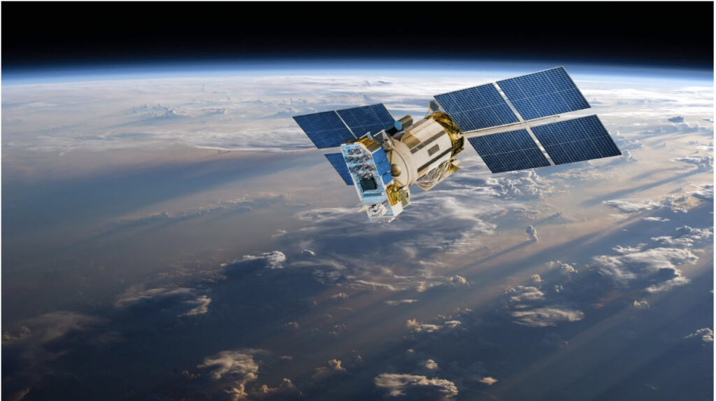
High-resolution satellite imagery has become a prerequisite for modern geospatial analysis, yet resolution alone often fails to address the operational friction between raw data and actionable decisions. Addressing this gap, EOS […]